Considering a hike up Table Mountain, but unsure which one to choose? Here are 6 of the best Table Mountain hiking trails to check out:
Platteklip Gorge Trail
Distance: 5.5 km, return
Time: 2 hours, return
Total Elevation Gain/Loss: 650 m
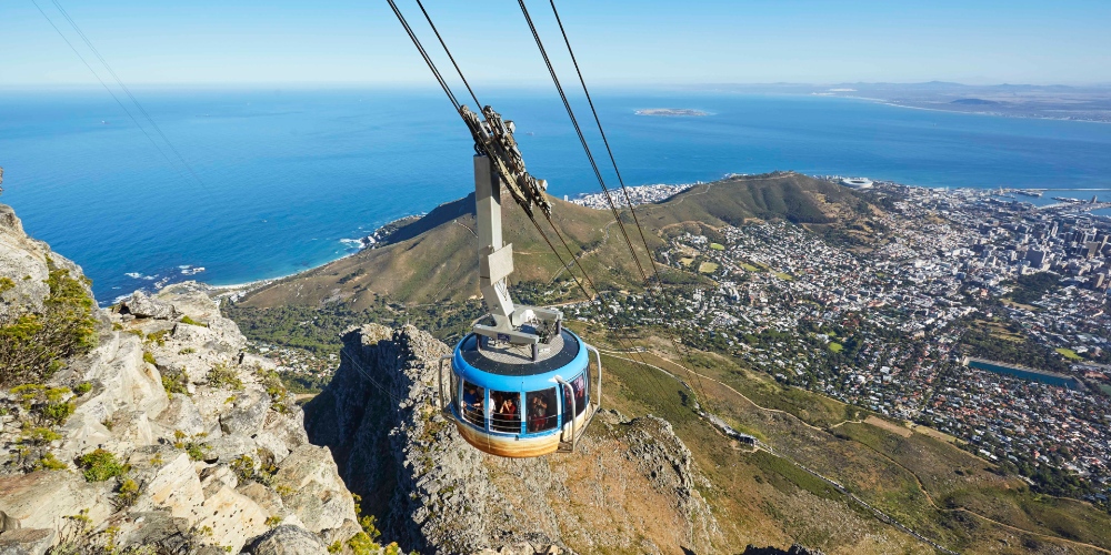
Start Point: Start the hike on Tafelberg Road, about 1,5 km past the Lower Cable Car Station towards Devil’s Peak
Finish Point (on the top): 700 m away from the cable car station
Difficulty: 3/5
Terrain: Expect footpaths, rocks, and boulders
Parking: Find a parking spot right at the start of the trail or look for parking along Tafelberg Road
India Venster Trail
Distance: 4.3 km to Upper Cable Car station, one way
Time: 2-3 hours from the start to the cable car, one way
Total Elevation Gain/Loss: 722 m
Start Point: Lower Cable Car Station
Finish Point (on the top): 700 m away from the Upper Cable Car station
Difficulty: 5/5. This trail is dubbed one of the most challenging and dangerous routes up Table Mountain. It’s not suitable for children or elderly people
Terrain: Expect rocks, boulders, occasional chains and ladders, and a footpath at the very end of the trail
Parking: Park your vehicle before or after Lower Cable Car station on Tafelberg Road
Skeleton Gorge Trail
Distance: 7 km, return
Time: 2.5-3.5 hours up and down, depending on how fast you walk
Total Elevation Gain/Loss: 600 m
Start point: Kirstenbosch Botanical Garden
Finish point (on the top): 100 m away from Hely Hutchinson Reservoir
Difficulty: 3/5
Terrain: Expect footpaths, stairs, rocks, boulders (some quite slippery), and wooden ladders
Parking: There are two parking areas inside Kirstenbosch Gardens
Diagonal/Kasteelspoort Trail
Distance: 11.5 km loop including distance to the diving board and back to the trail
Time: 3.5 hours
Total Elevation Gain/Loss: 680 m
Start Point: Kloof Nek parking, at the turn-off to Tafelberg Road
Finish Point (on the top): 200 m away from the Diving Board
Difficulty: 3/5
Terrain: Expect rocky/gravel footpaths, rocks, boulders, and rocky stairs
Parking: Kloof Nek parking, but if there is no space, you can park along Tafelberg Road

Maclear’s Beacon Trail
Distance: 5.4 km, return
Time: 90 minutes – 2 hours, return
Total Elevation Gain/Loss: 150 m
Start/Finish Point: Upper Cable Car Station towards Platteklip Gorge
Difficulty: 1/5
Terrain: Expect footpaths, boardwalks, and boulders
Parking: Park along Tafelberg Road near Lower Cable Car Station
Upper Cable Car Station to Skeleton Gorge
Distance: 4.8 km
Time: 1 hour 20 minutes – 2 hours
Total Elevation Gain: 66 m
Total Elevation Loss: 395 m
Start Point: Upper Cable Car Station
Finish Point: The top of Skeleton Gorge near Hely Hutchinson Reservoir
Difficulty: 1.5/5
Terrain: Expect boulders and boardwalks
Info supplied by www.alltrails.com and Table Mountain Aerial Cableway